By Alyssa Smithmyer, Accuweather.com

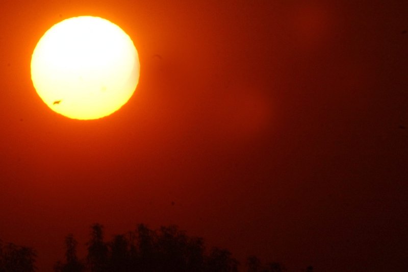
With temperatures expected to rise in the western United States this weekend, forecasters say the risk for wildfires in California is rising. File Photo by Armando Arorizo/EPA
A wave of warmth is set to build over the western United States from Wednesday to Saturday, putting multiple records at risk of being broken and increasing the fire threat as temperatures climb well above average.
"An unusually strong ridge of high pressure for early spring will be strengthening off the West Coast," AccuWeather Senior Meteorologist Heather Zehr said.
Forecasters say that while this area of high pressure will continue to strengthen and shift inland Wednesday, the strong offshore winds will provide a rush of unseasonably warm and dry air.
By Wednesday, temperatures in portions of Southern California and southwest Arizona are forecast to surge upwards of 90 degrees Fahrenheit, including heavily populated regions west of the San Gabriel, San Bernardino and San Jacinto Mountains. Downtown Los Angeles is expected to climb past 90 F for the first time since Nov. 13, 2021.
"Temperatures across California will jump about 10 degrees from Tuesday into Wednesday however, they will peak on Thursday and Friday at around 20 degrees above average," noted Zehr.

Multiple locations spanning from the Sacramento Valley to San Diego will soar high enough to threaten daytime high records on Thursday and Friday.
"Heat will certainly be building as we move into late week," stated AccuWeather Meteorologist Andrew Kienzle.
Taking a closer look at Southern California, the heat is expected to peak from Thursday to Friday across the Los Angeles Basin, when daytime highs can reach values into the upper 90s F. Desert regions in Southern California will likely experience the highest temperatures from Friday to Saturday. Some locations, such as Palm Springs, California, stand a chance of breaking the 100-degree mark on both days.
Downtown Los Angeles is forecast to reach a high of 94 F on Friday, challenging the daily record for April 8 of 92 F set back in 1989. Farther south, San Diego is forecast to get up to 87 F on Friday, which would tie the previous daily record set in 2014.

Forecasters say that AccuWeather RealFeel® Temperatures will range from 95 to 105 degrees F across much of Southern California during the peak daytime heating hours Thursday, Friday and Saturday.
Heat advisories have been issued across portions of Ventura County, the Santa Clarita Valley and San Fernando Valley for 11 a.m. PDT Wednesday through 6 p.m. PDT Friday ahead of the building heat.
In order to avoid heat-related illnesses, residents are encouraged to drink plenty of water, find an air-conditioned environment and avoid strenuous activity when temperatures are at their peak in the middle of the day.

Heat advisories (orange shaded counties) were issued by the National Weather Service (NWS) from 11 a.m. PDT Wednesday, April 6, through 6 p.m. PDT Friday, April 8
A clear sky and dry weather will accompany the warm conditions through Thursday before clouds start to spread over the Southwest ahead of this weekend. The Southwest has remained largely rain-free for the last week, with the last observed rainfall in the Los Angeles Basin occurring on March 29.
This is good news for baseball fans anxiously awaiting the first home games of the new season, which include the San Diego Padres hosting the Arizona Diamondbacks Thursday evening and the Oakland Athletics hosting the Philadelphia Phillies Friday afternoon.
According to the U.S. Drought Monitor, widespread regions of California, Nevada, Utah, Arizona and New Mexico are currently experiencing moderate drought levels. Portions of Central and Northern California, southern Nevada, western Utah, and central New Mexico are facing extreme drought levels.

The flow of warm air pushing across the Southwest will not only challenge daily records but will also heighten the risk of wildfires. Gusty Santa Ana winds are expected to develop from Tuesday to Thursday, further exacerbating the fire danger.
Wind gusts ranging from 40-50 mph can occur during this time, with gusts up to 60 mph possible through the mountain passes.

The pattern across the West is expected to transition by the late weekend, and temperatures will retreat to typical April levels. The mercury will continue to fall into next week with much of the Southwest experiencing below-average temperatures by the start of the new week.
No comments:
Post a Comment