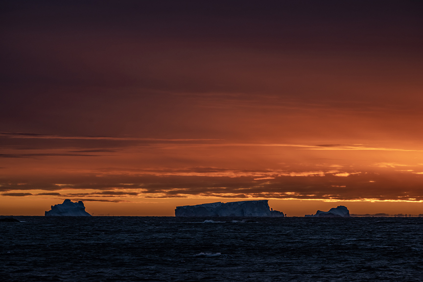
As part of 7th National Antarctic Science Expedition, Turkish scientists execute many projects in Antarctica
Sebnem Coskun |22.04.2023

ANTARCTICA
Turkish scientists carried out atmospheric research in and around Horseshoe Island of Antarctica as part of the 7th National Antarctic Science Expedition.
Under the auspices of the Turkish Presidency, coordinated by the Scientific and Technological Research Council of Türkiye’s (TUBITAK) Polar Research Institute and under the responsibility of the Turkish Industry and Technology Ministry, the 7th National Antarctic Science Expedition became a laboratory for scientific research for Turkish scientists at the South Pole.
Air quality measurement stations were established as part of atmosphere research carried out on Horseshoe Island and its surroundings.
As part of the study, data is collected, measurements are made for mapping with unmanned aerial vehicle (UAV) photogrammetry, and astronomy observations are made.
Also, the data from the weather station is instantly transferred to the website of the General Directorate of Meteorology.

The scientists regularly update the meteorological data taken from the weather station established on Horseshoe Island in 2019, said Cetin Bicer, electronics engineer of the General Directorate of Meteorology, who participated in the science expedition.
"Meteorological data is provided as a basic input to all research. We have been keeping the data transferred to Türkiye under control since our station was established, and we added an ultraviolet sensor to our station in 2022 to provide this data," Bicer said.
"I evaluated the temperatures last year and this year. On the dates during the expedition, our temperatures were approximately one degree high. This shows that climate change is at visible levels," he said.
Also, Yildiz Technical University Surveying Engineering Research Assistant Mustafa Fahri Karabulut said he carried out a mapping study on Horseshoe Island, consisting of aerial photographs called orthophoto, which includes photogrammetric measurements and 3D coordinate information of the earth with an unmanned aerial vehicle.
"We will compare the area we shot last year with the area we shot this year and examine whether there is a change in the glaciers both in volume and area," Karabulut added.
Additionally, again this year, we measured the area we measured last year with the GPR, which we call ground radar, and examined the difference between the two in terms of volume, he said.
"We received the data from our Global Navigation Satellite System (GNSS) stations, which have been collecting it for about four years. With this data, we observe both glacial and snow changes, sea level changes, and atmospheric studies in the area," he added.

Also, speaking about particulate matter measurements with air quality devices on Horseshoe Island, Furkan Ali Kucuk, a researcher at TUBITAK Polar Research Institute, said they continue to measure particulate matter.
"Our aim is to measure whether we cause air pollution during our study at the campsite in Antarctica. As Türkiye, we continue our studies showing that we do not cause air pollution during our work in Antarctica," Kucuk added.
No comments:
Post a Comment