Researchers measuring city landfill emissions, climate impacts of waste
CaptiWhen we talk about climate change and greenhouse gases, carbon dioxide (CO2) is the first thing that comes to mind for most. We see it all the time: “We need to reduce our CO2 emissions to mitigate climate change.” And while, yes, this is true, carbon dioxide is just one of many greenhouse gases contributing to climate change—and it isn’t even the most potent.
Methane (CH4) is the second leading greenhouse gas contributing to climate change. It is 80 times more potent than carbon dioxide, but is often overlooked because it breaks down in the atmosphere much faster. So while carbon dioxide is potent in long-term atmospheric warming, methane is the most potent in the short-term.
Methane, like carbon dioxide, is also a naturally occurring gas whose production has been accelerated by human activity. It naturally occurs in wetlands and fire, but human-led fossil fuel production and agriculture amplify emissions. Another, perhaps surprising, source of methane are landfills, as anything that decomposes also produces the potent gas.
In 2019, landfills were reported by Environment and Climate Change Canada (ECCC) to be responsible for over 85 per cent of the country’s annual methane emissions.
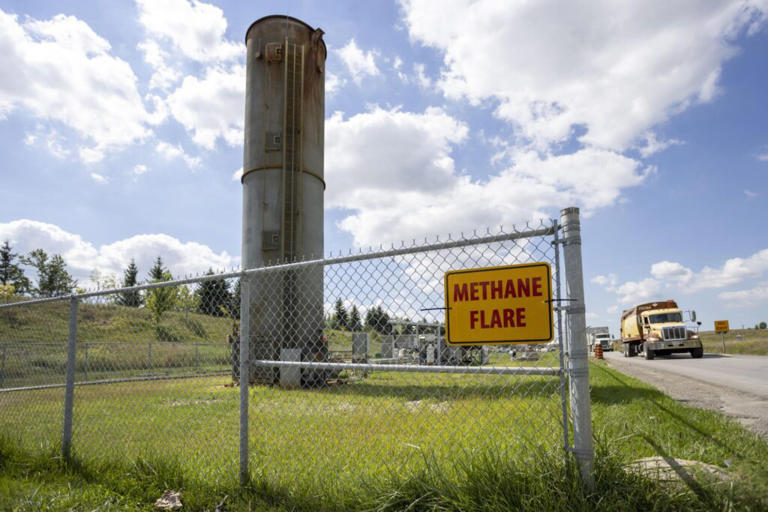
Currently, the largest landfills are required to have infrastructure that captures methane and converts it into carbon dioxide through combustion, which can then be used as energy. This infrastructure was incredibly successful at reducing methane emissions from landfills for the first 30 years of its use but has since stalled.

ECCC reports that in 2019, 112 landfills were equipped with methane-capture infrastructure. However, only one-third of methane emissions from the sites were actually captured.
Researchers at Western University’s Institute for Earth and Space Exploration in London, Ont., have partnered with the City of London, as well as GHGSat and Concord Environmental, to lead a new project surveying the amount of methane emissions from London’s dump.
SEE MORE: Upcycling reduces Canada's waste by giving leftovers a second life
The landfill site being used in the project, the London W12a Landfill, is one of the landfills in Canada that uses methane capture infrastructure. Dr. Sarah Gallagher, director of the Institute for Earth and Space Exploration at Western University and team lead for the project, says one of the objectives of this project is to measure how much methane the current infrastructure is capturing.
“So they know how much methane they're capturing, but they don't know if that's all of the methane,” Dr. Gallagher said. “The city has a model for how much methane is being emitted but they don't know how accurate it is. So that's one of our objectives, to figure out how accurate that model is because we'll be able to measure the methane emissions on the ground from a drone from space and capture how much is being emitted.”
“The other thing about it is so they can also see, for example, if there's leaks that they're not capturing,” she added.

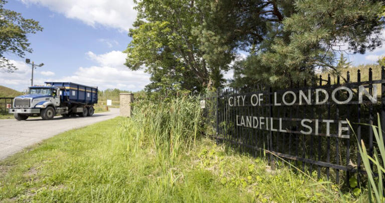
The W12a landfill in London, Ont. will be the site of the upcoming project. (City of London)
Taking different approaches
To measure methane emissions from the landfill, the team will be using four different approaches to carry out their surveys, each with their own advantages and disadvantages.
One approach is measuring methane from the ground level using continuous monitoring systems made by engineers in Western’s faculty of engineering.
“It's continuous, which is wonderful because you have that beautiful time record, but it's only four locations. So that's the weakness of it,” Dr. Gallagher stated.
Another approach that still uses ground measurements is having a team go out on foot four times per year with a detector to manually survey the entire landfill in what is referred to as ‘ground sweeping’.
“It's quite accurate because the person's carrying the detector and walking over the whole landfill so that you're right at the ground. But it only happens four times a year, and also, it's not that nice; it's not the best job.”
The team will also be taking their surveys to the sky, using drones equipped with the same detectors as those used by persons on the ground and using satellite imagery.
When describing the drone approach, Dr. Gallagher said, “It will have very high spatial resolution. But there's a bit of uncertainty when you're measuring something above the ground about if you're really capturing everything, because it really matters. For example, if there's swirling winds in the landfill, then that can affect how well you're capturing everything.”
SEE ALSO: Are you an 'aspirational recycler'? See if you're using the blue bin correctly
Satellite imagery will be able to fill the gaps the drone has by being able to capture the full extent of the methane plumes, from the ground into space.
These surveys will be conducted over the course of one year, not only to test the effectiveness of each approach but also to see if there is any seasonal variability in methane emissions.
As for what will happen once the project is completed, “We want to be able to give information to the city so they can figure out the best monitoring protocol for managing the landfill effectively,” Dr. Gallagher said.
“We have that tight connection to the City because ultimately we want to do something useful so that they can do the best job managing the landfill.”
Beyond London
The information gathered from this project will not only be useful to London but to other municipalities across Canada as well. Dr. Gallagher stated that the team will share their findings with other municipalities to help them make their own informed protocols for landfill management. She also said these findings could even extend to other sectors and industries that are major producers of methane emissions. “That's another point of sharing research: that often, when you do your research to solve a specific problem, it can turn out that it can solve other problems as well.”
“We're just really fortunate that we have all this expertise at Western so that we can bring together this team and they can all apply their techniques to this problem in order to figure out the best way to manage the landfill.”
Thumbnail image of a dumpsite under the clear sky from Emmet/Pexels. File photo used for illustration purposes only.
No comments:
Post a Comment