El Nino set to intensify before peaking in December, UN warns
The United Nations warned on Thursday that El Nino will intensify before peaking in December, bringing higher temperatures to much of the planet and compounding the effects of man-made climate change. The World Meteorological Organization added that this naturally occurring weather phenomenon could be the strongest since at least 1950.
Issued on: 08/10/2026
By: FRANCE 24

El Nino will intensify even more before peaking in December, the United Nations said Thursday, warning it could be among the strongest witnessed since at least 1950.
The naturally occurring weather phenomenon is set to bring higher temperatures to much of the planet, the UN's weather and climate agency said, with its impact compounding the effects of man-made climate change.
"El Nino will continue to intensify ahead of its forecast peak in December," the World Meteorological Organization (WMO) said in its monthly Global Seasonal Climate Update.
"It is likely to bring above-average temperatures to much of the globe and shift rainfall patterns, increasing the risk of drought and floods in different regions."
El Nino warms surface temperatures in the central and eastern equatorial Pacific Ocean, bringing worldwide changes in winds, pressure and rainfall patterns.
It typically takes place every two to seven years and lasts around nine to 12 months.
Conditions oscillate between El Nino and its opposite La Nina, with neutral conditions in between.
El Nino 'strengthening rapidly'
"Sea-surface temperatures in the central and eastern tropical Pacific are forecast to increase to record levels during October-November-December 2026, reflecting the strengthening of the El Nino event which will drive weather patterns and impact economies, ecosystems and communities across the globe," the WMO said.
The forecast is based on consensus across 13 leading national and international meteorological centres.
"El Nino is firmly established and strengthening rapidly," said WMO chief Celeste Saulo.
"WMO forecasts indicate a near-100 percent likelihood that it will persist through February 2027, potentially being one of the strongest since at least 1950."
Saulo explained that El Nino does not add new heat to the planet, but releases heat being stored in the ocean.
"The ocean it's drawing from is the warmest we've ever measured it. There is simply more heat available to release," she said.
El Nino: Climate scientists warn of "Godzilla-level" climate event

01:52
Sea temperatures record
The index which measures sea surface temperature anomalies across the central-eastern equatorial Pacific – the region at the heart of El Nino – increased from 1.6C above normal in June to 2.5C above normal in August.
For October-November-December, the anomaly is forecast to reach approximately 3.7C above normal.
This would be the highest since observations began, eclipsing the previous record of 2.6C set in 2015-2016.
The last El Nino contributed to making 2023 the second-hottest year on record and 2024 the all-time high at around 1.55C above the 1850-1900 pre-industrial average.
While El Nino usually peaks between November and February, the resulting spike in temperatures typically comes later.
This El Nino is already hitting some regions hard, including in Central America, where animals and crops are dying from drought.
(FRANCE 24 with AFP)
When will El Niño peak and end? A full timeline of the weather phenomenon taking the world by storm
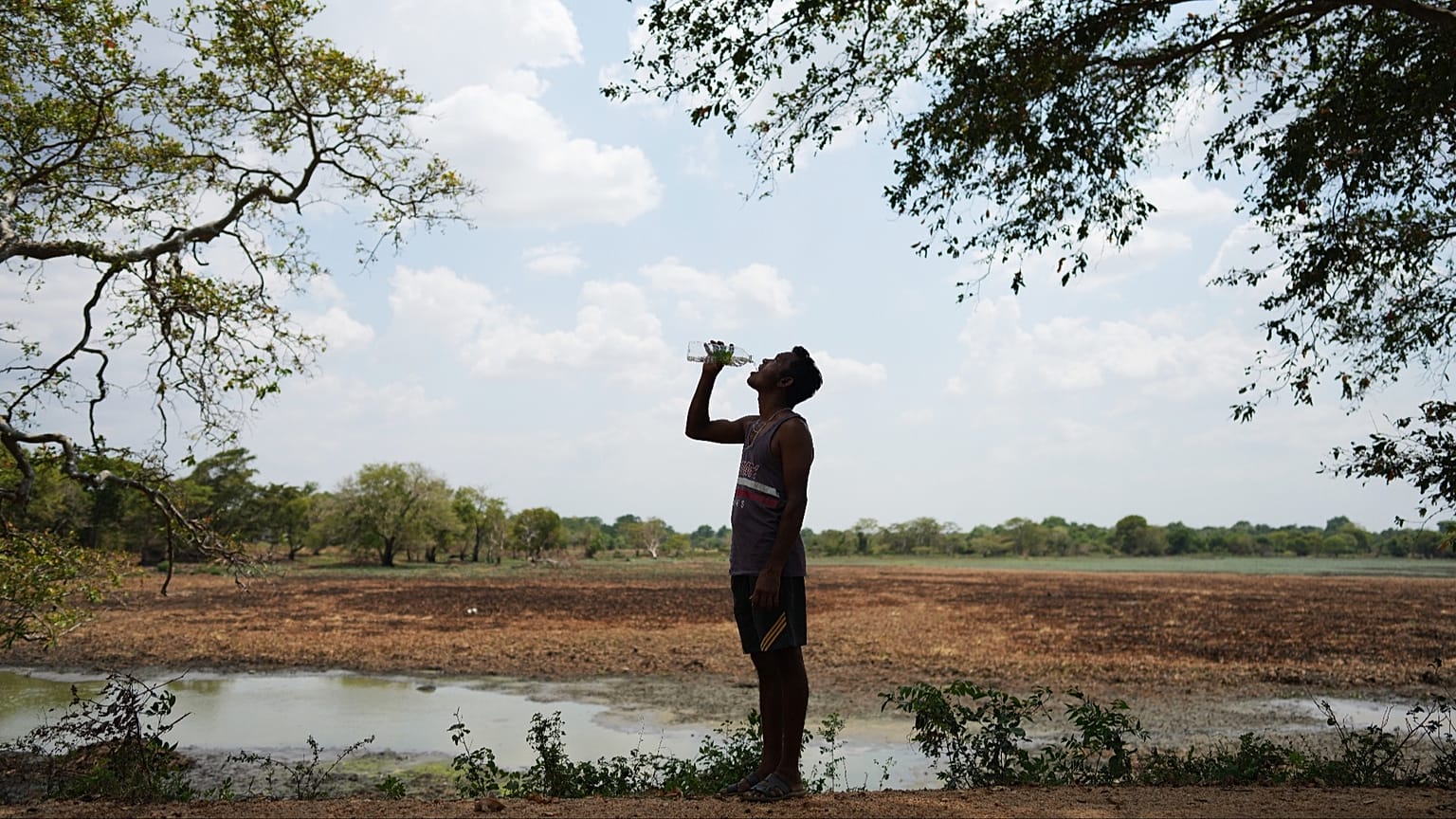
A ‘Godzilla’ El Niño is still intensifying in the Pacific. When will we see the weather phenomenon peak – and when will it come to an end?
2026 will go down in history for what could become the largest El Niño in living memory, as the world scrambles to prepare for an onslaught of extreme weather.
The natural weather phenomenon (Spanish for ‘the boy’) occurs irregularly – roughly every two to seven years – when sea temperatures in the Eastern Pacific Ocean become unusually warm. Experts first started warning that a strong El Niño could form at the beginning of this year, supported by large amounts of heat in the subsurface ocean and the expected weakening of low-level trade winds.
In the first week of June, the World Meteorological Organization (WMO) confirmed that El Niño conditions were officially underway. Towards the end of summer, experts warned that the “unprecedented” El Niño could become the largest event since the 19th century – gaining the nickname of a ‘Godzilla’ or ‘Super’ El Niño.
Is El Niño getting stronger – and what are the impacts?
According to the WMO, sea-surface temperatures in the central and eastern tropical Pacific are forecast to increase to record levels during October, November and December.
Sea-surface temperature anomalies across the central-eastern equatorial Pacific, the region at the heart of El Niño, are measured by the widely used Niño 3.4 index. This increased markedly from an average +1.6 °C above normal in June 2026 to +2.5 °C above normal in August.
For October-November-December, the seasonal average Niño 3.4 sea surface temperature anomaly is forecast to reach approximately +3.7°C. This would be the highest since observations began and is stronger than the previous record of +2.6°C in November 2015-January 2016.
Previous El Niño events have contributed towards record-breaking heat, fuelling long-standing droughts, flash floods and deadly wildfires across the globe.
El Niño’s weather impacts are mainly felt in the tropics, but Europe can experience milder, wetter winters. An El Niño peak can also weaken the polar vortex, increasing the likelihood of a cold snap.
South America, the southern US, East Africa and Central Asia have all experienced heightened flood risks during previous El Niño events – while droughts and wildfire risks rise across large parts of Australia, northern parts of South America and in certain Asian countries such as Indonesia.
Extreme weather overseas will still have a knock-on effect for Europe. The IHE Delft Institute for Water Education in the Netherlands has been working in areas that are directly impacted by El Niño and warn that many staple foods that Europe imports could be at risk.
For example, in Nicaragua, crops such as maize and beans may fail in already fragile areas, leading to food insecurity and income loss in the country. A lack of rain and low flows in rivers also mean that irrigated crops in Colombia, Northeast Brazil and India will face severe restrictions or will need to rely more on groundwater, potentially causing overexploitation in the area – and export shortages.
A timeline of El Niño: When will it peak and end?
The WMO’s latest statement says that El Niño is forecast to peak in December, and will continue into next year.
“El Niño is firmly established and strengthening rapidly,” warns WMO Secretary-General Celeste Saulo. “WMO forecasts indicate a near-100 per cent likelihood that it will persist through February 2027, potentially being one of the strongest since at least 1950.”
The almost-certain figure isn’t from one climate model. The WMO has coordinated ocean buoy, satellite and radiosonde data from 13 national and international centres to make the prediction.
El Niño isn’t expected to end until spring 2027, but its impacts will likely stretch further. It’s why experts warn that next year could become the hottest on record.
El Niño clashes with climate change
Most El Niño events increase global average temperatures by around 0.2°C. While this is enough to trigger extreme weather conditions across the Global South, it is a fraction of the additional warming caused by climate change.
Human-caused global warming from the burning of fossil fuels has pushed global average surface temperatures 1.3°C to 1.4°C above pre-industrial levels. It is this that paved the way for Europe’s scorching summer, long-standing drought and deadly wildfires.
Nowadays, El Niño’s impacts are compounded by an already warming world – one that has a much stronger influence on the extreme weather we’re witnessing. 2025, for example, was the third warmest year on record – hotter than the El Niño year of 2016 – despite the naturally-forming cool drag of El Niño’s counterpart, La Niña.
Recent research suggests that climate change is turbocharging El Niño events too, by making them 36 per cent stronger than before the industrial era.
“El Niño doesn't add new heat to the planet. It releases heat the ocean has already been storing beneath the surface – which is why a strong event so often becomes one of the hottest years measured (as with 2024),” Saulo told the Global Heat Forum in Bangkok in October.
“The ocean it’s drawing from is the warmest we’ve ever measured it. There is simply more heat available to release.”
El Niño could weaken the polar vortex. Does a scorching summer mean a freezing winter?
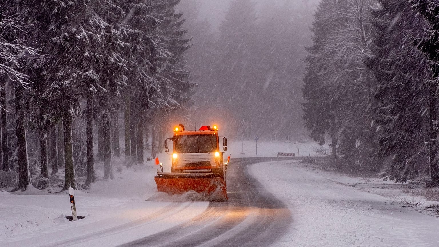
Experts have warned that this year’s El Niño event could be the “strongest in living memory” – increasing the likelihood of 2027 becoming the hottest year on record
Sea surface temperatures in the equatorial Pacific Ocean have already surpassed the highest recorded during any previous El Niño events, and the weather phenomenon isn’t expected to peak until late autumn or early winter.
Between June 2026 and February 2027, experts estimate that the extreme heat associated with El Niño could contribute to 451,000 additional deaths. The extra warming also paves the way for more extreme weather impacts, such as wildfires and floods.
South America, the southern US, East Africa and Central Asia have all experienced heightened flood risks during previous El Niño events – while droughts and wildfire risks rise across large parts of Australia, northern parts of South America and in certain Asian countries such as Indonesia.
But in Europe, El Niño’s weather impacts tend to be much more indirect and less severe. The natural phenomenon could increase the chances of more unsettled conditions later in the year, such as a milder, wetter and windier autumn and early winter.
So, why are fears growing that Europe will be cast into a deep freeze this winter?
What is a Sudden Stratospheric Warming event?
Every year in winter, strong westerly winds circle around the pole high up in the stratosphere – which extends from an altitude of about 10 to 50 km above the Earth’s surface.
This is referred to as the stratospheric polar vortex (SPV) and it circulates around cold air high over the Arctic.
However, following a peak in El Niño, the SPV can become weaker. This can increase the likelihood of a Sudden Stratospheric Warming (SSW) event, which would subsequently increase the potential for cold weather.
A SSW is where temperatures rapidly increase (up to about 50C in just a couple of days) in the stratosphere. As the cold air from high up in the stratosphere disperses, it can affect the shape of the jet stream as the cold air sinks from the stratosphere into the troposphere.
“Typically this will form over the North Atlantic and Scandinavia,” the UK Met Office says.
“This means that northern Europe, including the UK is likely to get a long spell of dry, cold weather, whereas southern Europe will tend to be more mild, wet and windy. On the boundary of these areas, cold easterly winds develop and in some cases the drop in temperatures leads to snow.”
Will El Niño trigger a ‘deep freeze’ in Europe?
Multiple newspapers have recently warned of a “deep freeze” hitting Europe due to the risk of El Niño peaking and weakening the polar vortex.
However, winter weather across the UK and mainland Europe is influenced by a wide range of factors – including human-caused climate change. For example, a 2025 study from Newcastle University found the burning of fossil fuels is accelerating winter rainfall changes in the UK and Europe, almost 25 years sooner than expected.
Many of the factors that impact Europe’s weather cannot be predicted so far in advance. In fact, meteorologists can only reliably forecast individual SSW events about a week ahead.
“While there is a known teleconnection between El Niño and a colder end to the UK winter, this outcome is by no means guaranteed,” Grahame Madge, a Met Office climate spokesperson, tells Euronews Earth.
“There are many other drivers of UK winter weather including El Niño, and it is the balance of these drivers that determines the winter forecast rather than any single one.”
No comments:
Post a Comment