Thursday, December 09, 2021


New research makes waves tackling the future of tsunami monitoring and modeling

New research makes waves tackling the future of tsunami monitoring and modeling
Fralin Life Scientes Institutes' Tina Dura (right) conducts research with colleagues 
Richard Briggs (United States Geological Survey) and Simon Engelhart (Durham University)
 on an island off the coast of Alaska. Photo courtesy of Rich Koehler for Virginia Tech. 
Credit: Virginia Tech

The coastal zone is home to over a billion people. Rising sea levels are already impacting coastal residents and aggravating existing coastal hazards, such as flooding during high tides and storm surges.

However, new research by assistant professor Tina Dura and professor Robert Weiss in the College of Science's Department of Geosciences indicates that future  rise will also have impacts on the heights of future tsunamis.

"In 50 to 70 years, sea level is going to be significantly higher around the world," said Dura, who is also an affiliate of the Center for Coastal Studies, an arm of the Fralin Life Sciences Institute. "If a  strikes in that time frame, the impacts that you're estimating for today are going to be greater. I think that coastal geologists and modelers alike need to consider sea-level rise in future models and hazards assessments."

Their findings were published in Nature Communications.

Around the colloquial Ring of Fire, tectonic plates are colliding with the massive Pacific plate, resulting in seismic and volcanic activity. Because the Ring of Fire encircles the Pacific Ocean, large earthquakes on its boundaries produce regional tsunamis and also distant-source tsunamis that propagate across the Pacific Ocean and affect coastlines thousands of miles away.

Off the coast of Alaska, colliding tectonic plates create a 2500-mile-long fault known as the Alaska-Aleutian subduction zone. Research shows that the subduction zone can produce distant-source tsunamis that strike the west coast of the United States, and in particular, Southern California.

In 2013, the United States Geological Survey initiated a Science Application for Risk Reduction project focused on a distant-source tsunami originating along the Alaska-Aleutian subduction zone and its impacts in California.

The project found that a magnitude 9.1  could produce a distant-source tsunami with an amplitude of 3.2 feet at the ports of Los Angeles and Long Beach, larger than any historical distant-source tsunami at the ports, causing losses of up to $4.2 billion.

a) Map of Alaska showing the sections of the Alaska-Aleutian subduction zone, earthquake boundaries, and approximate historical earthquake extents. b) Light gray shaded area shows the U.S. Geological Survey Science Application for Risk Reduction scenario magnitude 9.1 Semidi section earthquake. c) Map of the ports of Los Angeles and Long Beach showing the location of gauges that measure water levels at the ports and maximum nearshore tsunami heights. d) Plot showing modeled earthquake magnitudes in the year 2000 with no tidal variability included (blue histogram), with tidal variability (green histogram), and the combined tsunami heights and tidal variability (red histogram).

However, due to rising sea levels, this tsunami scenario at the ports of Los Angeles and Long Beach will not be accurate in the long run.

Observations show that the world's temperatures are rising and sea levels are following suit. It's not a question of whether sea level will continue to rise but by how much.

Dura and Weiss, along with colleagues from Rowan University, Rutgers University, Durham University, Nanyang Technological University, and the United States Geological Survey, joined forces to combine distant-source tsunami modeling with future sea-level rise projections to see how rising sea levels will influence tsunami heights in Southern California.

The group projected sea-level rise for the ports of Los Angeles and Long Beach based on scenarios that factor in both low and high estimates of greenhouse gas emissions and climate change mitigation strategies.

One scenario included mitigation strategies to reduce greenhouse gas emissions that resulted in minimal temperature and sea-level rise. Another scenario reflects a future with no mitigation efforts and high emissions, leading to a faster rise in temperatures and higher sea levels.

The group found that today, a magnitude 9.1 earthquake can produce tsunami heights that exceed 3.2 feet at the ports. However, by 2100, under high-emissions sea-level rise projections, a much smaller magnitude 8 earthquake will be able to produce a tsunami that exceeds 3.2 feet.

In other words, higher sea levels will make the ports more vulnerable to tsunamis produced by less powerful earthquakes. The results are especially concerning given the higher frequency of magnitude 8 earthquakes.

"A 9.1 is very, very rare," said Dura. "So today, the chances of having a tsunami exceeding 3.2 feet at the ports is pretty small because a very rare, very large earthquake would be required. But in 2100, a magnitude 8, which happens around the Pacific Rim quite often, will be able to exceed the same tsunami heights due to higher sea levels."

"This work really illustrates the potential for future tsunamis to become far more destructive as sea levels rise, especially if we fail to reduce future greenhouse gas emissions," said co-author Andra Garner, who is an assistant professor studying sea-level rise at Rowan University. "The good news is that the work also illustrates our ability to minimize future hazards, if we act to limit future warming and the amount by which future sea levels increase."

But knowing about these potentially devastating tsunamis entails not just looking ahead, but looking back as well.

The United States Geological Survey Science Application for Risk Reduction project only considered an earthquake that occurred within the Semidi section of the Alaska-Aleutian subduction zone. But since that initial work, Dura and colleagues have published research that suggests other sections of the subduction zone should be considered as well.

The Semidi section and the adjacent Kodiak section of the subduction zone have produced historical earthquakes. In 1938, a magnitude 8.3 earthquake struck the Semidi section. In 1964, a magnitude 9.2—the largest recorded earthquake to occur on the Alaska-Aleutian subduction zone—struck the Kodiak section and other sections to the east.

Because the earthquakes of 1938 and 1964 did not overlap, seismic hazard maps labeled the area between them as a "persistent earthquake boundary." In other words, the risk of the region's greatest, multi-section earthquakes was thought to be quite low.

"Although the 1964 earthquake rupture did not cross into the rupture area of the 1938 earthquake, it is unclear if this has been the case for earthquakes hundreds to thousands of years in the past. Should this be considered a persistent boundary between earthquakes, or can there be very large, multi-section earthquakes in this region? We wanted to find out," said Dura.

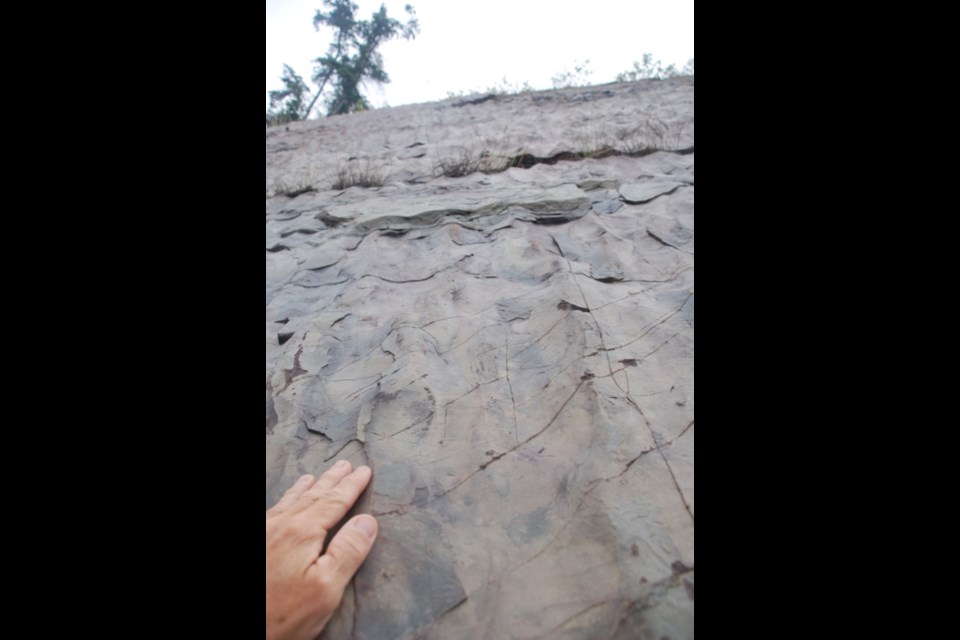
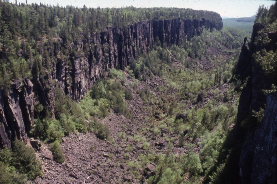
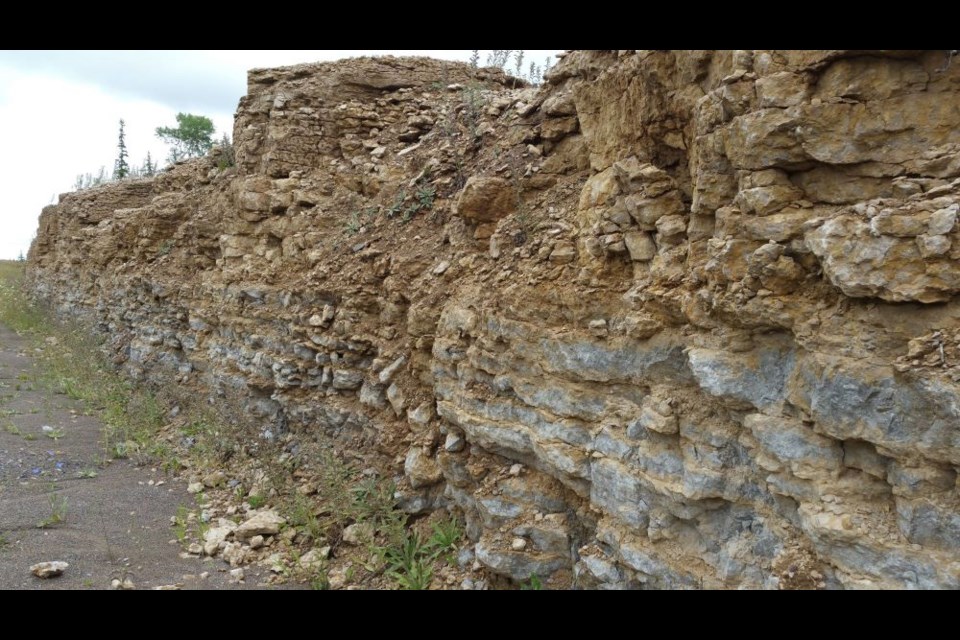
To learn more about the seismic history of the Alaska-Aleutian subduction zone, Dura and colleagues used 5 centimeter cookie-cutter-like cylinders to collect core samples from wetlands that are peppered across the proposed earthquake boundary.

The group then analyzed the soil layers contained in the cores to identify instances of land-level change and tsunami inundation from past earthquakes. Through radiocarbon, cesium, and lead dating, the group was able to build a timeline of past large earthquakes in the region.

Their research showed that multiple  had spanned the proposed earthquake boundary, which means that earthquakes that ruptured both the Semidi and Kodiak sections of the subduction zone had occurred multiple times in the past.

"Our geologic data shows that earthquakes can span the Semidi and Kodiak sections," said Dura. "For this reason, we incorporated both single and multi-section earthquakes into our distant-source tsunami modeling for the ports. By including multi-section earthquakes in our modeling, we believe the range of tsunami heights we estimate for the ports is a step forward in our understanding of impacts of future tsunamis there."

The group's data will be included in hazard maps for southern Alaska to help improve future modelling scenarios for the Alaska-Aleutian subduction zone.

"Collaborations like ours that aim to integrate coastal geology, earthquake modeling, and future projections of sea level are crucial in developing a complete picture of future tsunami impacts at ports," said Weiss, director of the Center for Coastal Studies. "Increasing interdisciplinary research capacity, meaning the integration of scientific fields with each other that follow different governing paradigms, will be the key to understanding the impacts that the changing Earth has on our well-being and prosperity. Building interdisciplinary research teams is difficult, and Virginia Tech's Center for Coastal Studies fulfills a pivotal role bringing such teams together. Fulfilling this team-building role not only enables studies such as ours, but also helps Virginia Tech remain true to its motto, Ut Prosim (That I May Serve)."

In future projects, Dura, Weiss, and colleagues plan to incorporate distant-source tsunamis originating from other subduction zones around the Ring of Fire into their modeling of tsunami impacts on other coasts as well as the economic consequences of coastal inundation.

"With our new study, we provide an important framework for incorporating  into distant-source tsunami modeling, and we're excited to continue building on these initial results," Dura said.Weird earthquake reveals hidden mechanism

More information: Nature Communications (2021). DOI: 10.1038/s41467-021-27445-8

Journal information: Nature Communications 

Provided by Virginia Tech 

$450M flood bill costliest in B.C.'s history, still climbing

The nearly half-billion dollars in insurance claims makes November's flooding the costliest natural disaster in B.C.'s history. But with the government yet to release its damage estimates, it comes nowhere near the true financial toll.
Princeton flood
Princeton, B.C., residents float and wade through floodwaters, Nov. 15, 2021. 

The flooding that sank several B.C. communities underwater last month is now estimated to have caused $450 million in insurable damage, making it the most costly weather event in the province’s history, says the Insurance Bureau of Canada (IBC). 

The record bill comes nowhere close to capturing the full damage to people’s homes and businesses. The B.C. government has yet to tally the full cost of both disaster assistance relief and repairs to damaged infrastructure. 

Part of the reason that government bill is expected to stretch into the hundreds of millions, if not billions of dollars, is because only roughly half of British Columbians are covered by flood insurance. In high-risk areas, like Abbotsford’s Sumas Prairie or parts of Merritt, flood insurance simply wasn’t available. 

“This is a fraction of the total cost,” says Aaron Sutherland, IBC’s vice-president for Canada’s Pacific region. 

“If you lived in these areas that have been impacted by these floods, insurance for your home would have been… either very expensive or the insurers just simply don't offer it because they can't make it affordable.”

Sutherland says IBC does not yet have a grasp on what proportion of homes and businesses impacted by November’s flooding had insurance, but so far roughly 6,000 homes have filed claims.

That comes nowhere near the $4 billion (adjusted for inflation) claimed in the wake of the 2016 Fort McMurray wildfire; to date, it's Canada’s most costly insurance payout due to natural disaster. But because fire is always covered in insurance policies and flood damage requires homeowners to opt in, the full cost of B.C.’s flooding could be much higher.

Sutherland says 90 per cent of B.C. homeowners with insurance pay no more than $300 per year. It’s the remaining 10 per cent, who live in places expected to flood every 10 or 20 years, that face massive insurance premiums. And as climate change makes the risk of flood more likely, those costs are only expected to climb. 

Every year, the insurance industry pays out roughly $40 billion across Canada, of which $6 billion is payed out in B.C. That’s still nowhere near a breaking point, says Sutherland. 

The growing sense of urgency rests with home and business owners who can’t foot the rising cost of premiums. To that end, IBC is part of a federal, provincial and territorial task force looking to create a low-cost residential flood insurance program for those highest at risk. 

At the same time, Sutherland says more needs to be done to protect communities from the effects of climate change in the first place — whether from wildfire or floodwaters.

“Insurance is just one piece of what is a much bigger challenge we’re facing,” he says. “The impact it’s having on people living and working in these areas, you can’t quantify that with a dollar value.” 

Roadside geology in three billion years on the back roads
 (7 photos)

This week Back Roads Bill asks us to look at roadside rock cuts to learn about what makes up Northern Ontario and there is a guidebook to help


Bill Steer
SOO TODAY


Rock cuts are found throughout Northern Ontario remember to pull well off the road for safety's sake.
Bill Steer for Village Media

When driving along the main or the back roads, a multitude of colours, interesting wavy patterns and lines are visible within the rock cuts in some locations. There are three billion years of history to discover and understand at these stops.

In Northern Ontario, road builders don't always take the path of least resistance they go straight through the Canadian Shield creating accidental geologic classroom lessons. We know the exposed rock faces as rock or road cuts. It is a great way to see the rocks that are normally hidden.

Most of us are neophytes when it comes to rocks but they can reveal different layers of rock, faults, igneous intrusions, and many other geologic structures that are normally difficult to see.

In basic terms, geology is the study of the earth, the materials of which it is made, the structure of those materials, and the processes acting upon them over time. It also includes the study of organisms that have inhabited our planet like fossils, Manitoulin is famous for that.

Where to start


Mark Hall, lives within the City of Greater Sudbury and he is a 'professional landman,' an industry term not so familiar.

He is a mining landman specializing in hard rock mineral prospects and project development with more than 20 years of experience in acquiring and managing mineral lands, for both the government and private companies in Canada and the USA.

He said the rocks of Northern Ontario tell many stories and hold even more secrets. Most of that secret information is covered by dirt and plants and will never be revealed to humans, but we do get a glimpse of the Canadian Shield geology whenever we travel the highways.

Every rock cut along the road is a tiny window into the hidden bedrock that we drive by.

One must be able to see the rocks to understand them, and our road cuts can provide wonderful exposures of what lies beneath. A great example is the road cut on Hwy. 69 at the Bowes Street exit at Parry Sound.

This road cut is like a first-year structural geology course in one picture.

Next time you pass by (not for the driver) look to see the way the rocks are layered, then notice that they are not flat but bent and folded like children’s play dough. That folding is the result of enormous tectonic forces twisting the rock layers into what you see today.

When the rock can bend no more, it snaps.

See where the layers are interrupted along straight lines? These are faults where one side has slid past the other. You would not want to be there when that happened because that movement is what causes earthquakes.

Don’t worry, that earthquake because it likely happened billions of years ago.

This sounds rock solid but I think I need a tutorial.


One of the geological features in 'Road Rocks' is the dynamic Ouimet Canyon near Dorion.
Bill Steer for Village Media

Road Rocks Ontario


The best way is to stop and look at all those rock cuts up close and personal. It was like a gold discovery I found the definitive guidebook written by a geologist who has spent a lifetime looking at the roadside rocks.

Dr. Nick Eyles has been teaching geology at the University of Toronto for almost forty years.

He is an award-winning author of the best-selling geology books Road Rocks Ontario and Ontario Rocks.

After completing a five-part series with CBC on the geology of Canada that aired in 2008, Nick was on the road with the Canadian Broadcasting Corporation for seven months in 2009-10 as host of Geologic Journey – World a five-part Nature of Things series with David Suzuki. Rock on with Nick.


 The ripple rocks just west of Desbarats is one of the most interesting roadside geology locations.
Bill Steer for Village Medi

The province of Ontario contains many sites of outstanding geological importance. Many are internationally well known and attract visitors from around the globe. Others no less important remain hidden in plain sight. This is what I have been searching for.

"During the last three billion years Ontario has been witness to giant tectonic collisions as North America collided in turn with South America and Africa creating huge mountains now long gone," Nick said. "Many of Ontario's northern rocks originated as magma on ancient ocean floors long before life flourished. The province has been dented by fiery meteorites, drifted across the equator, been flooded by tropical seas rich in marine life and scraped bare by ice sheets."

As an addendum to another recent Back Roads Bill story, he said, “ Many rocks are sacred to First Nations peoples who believe that rocks are inhabited by may maymaygwayshiwuk who appear every now and again to torment humans.”

Click this link to learn more about that.

There is a lot of rock in Ontario and this book offers only a glimpse of what can be found in the thousands of outcrops by side of the road. Armed with what you learn from this guide you’ll pretty soon figure what that other stuff might be.

And besides that, he said, “Most of the stops are close to coffee stops.”

There is hope for me now.


 As drive the northern route of Highway 11, west of Beardmore and east of Nipigon you will see these magnificent palisades; and there is hiking trail to the top.
Bill Steer for Village Media


See the map for some of the book’s locations and page numbers with Back Roads Bill photos.

Nick recommends stopping by the Rock Walk in Haileybury to get a primer on the rocks you will see; that’s on page 440.

In the easy-to-read Road Rocks Ontario book, there are more than 250 geological wonders to discover. It has GPS coordinates for each site and a location map. This guidebook has been on the back roads since its publication in 2013.

And while you are at it here are a few free government publications on roadside rocks in a printable .pdf format that will help you with your schooling and a field guide to the Sudbury area and an entire series of Northern Ontario geo tours.

Always remember to pull off the road as the apron allows.

Now, if I can just figure out how to drive the back roads and read the guide at the same time?

Santa knows I won’t do that because I don’t want that lump of coal again, we have peat but not coal in Northern Ontario. I do not have rocks in my head others may say differently.

Dinosaur faces and feet may have popped with color

Dinosaur Faces and Feet May Have Popped with Color
Extinct dinosaurs may have had bright color on their skin, scales and beaks in a manner 
similar to modern birds. Credit: Sarah Davis

Most birds aren't as colorful as parrots or peacocks. But if you look beyond the feathers, bright colors on birds aren't hard to find: Think pink pigeon feet, red rooster combs and yellow pelican pouches.

There's a good chance that extinct  rocked pops of  on similar body parts and may have flashed their colors to entice mates, just as birds do today, according to a study led by researchers at The University of Texas at Austin.

"Living birds use an array of pigments and can be very colorful on their , legs, and around their eyes," said Sarah Davis, a doctoral candidate at the UT Jackson School of Geosciences who led the study. "We could expect that extinct dinosaurs expressed the same colors."

The research was published in the journal Evolution on Dec. 6.

The takeaway on potential dinosaur color schemes comes from broader findings about skin and tissue color in the common ancestor of living birds and extinct dinosaurs, an ancient archosaur that lived near the beginning of the Triassic period. By analyzing whether bright body color was present in living dinosaur relatives—including turtles, crocodiles and over 4,000 bird species—the researchers determined that the common ancestor had a 50% chance of having bright colors in the soft tissues of its body.

The bright colors examined in the study typically come from —a class of colorful red, orange and yellow pigments that birds extract from their food. Carotenoids do not fossilize as well as brown and black pigments, which means scientists must study color in living animals to look for clues about color expression in their extinct ancestors.

Dinosaur Faces and Feet May Have Popped with Color
A simplified evolutionary tree showing where bright colors appear on birds and other living
 species from this studyand where these colors may have appeared on their extinct relatives
, including dinosaurs. Skin (shown in orange), and scalesand beak keratin (yellow) could 
have been brightly pigmented in extinct groups, whereasfeathers and claws would probably
not have been. Areas without bright color are shown in gray. 
Credit: Sarah Davis / The University of Texas at Austin

The researchers used the data collected from birds and other animals to make phylogenic reconstructions, a scientific method used to investigate the evolutionary histories of species. The 50% estimate for bright color applies equally to skin, beaks and  of the ancient archosaur. In contrast, the research found that there was a 0% chance that claws and feathers were brightly colored, which is consistent with other research, Davis said.

The study also examined the connection between color and a  high in carotenoids, with Davis finding that birds with higher carotenoid diets (plant- and invertebrate-rich) were more likely to be colorful than meat eaters. What's more, she found that plant-eating birds expressed bright colors in more places on their bodies than meat eaters or omnivores.

"The earliest dinosaurs were pony-sized and ate large, vertebrate prey," said study co-author Julia Clarke, a professor at the Jackson School. "Different groups shifted to plant-dominated or mixed diets. This shift likely led to changes in coloration of skin and non-feather tissues."

In addition to coloring the past, the research puts living birds in a new perspective. Davis said that the bird groups examined in the study have a reputation for being drab—especially in comparison to songbirds, which were excluded from the study because they are the most distantly related to their nonavian dinosaur ancestors.

But aside from their feathers, the birds turned out to be quite colorful. The study found that about 54% of the 4,022 bird species studied had bright colors. Of this group, 86% of species expressed bright color in only non-feathered tissues.

Mary Caswell Stoddard, an associate professor at Princeton University, said that the study provides important insights on bird color that often go overlooked.

"There is so much more to birds' color than their plumage—just think of the vibrant orange-yellow bill of a toco toucan—but feathers tend to get the most attention," she said. "This study unravels the evolutionary history of carotenoid-based coloration not just in plumage but also in the beaks and  of  and their relatives."Why some of Darwin's finch nestlings have yellow beaks

More information: Sarah N. Davis et al, Estimating the distribution of carotenoid coloration in skin and integumentary structures of birds and extinct dinosaurs, Evolution (2021). DOI: 10.1111/evo.14393

Journal information: Evolution 

Provided by University of Texas at Austin 


Fast-running theropods tracks from the Early Cretaceous of La Rioja, Spain

Abstract

Theropod behaviour and biodynamics are intriguing questions that paleontology has been trying to resolve for a long time. The lack of extant groups with similar bipedalism has made it hard to answer some of the questions on the matter, yet theoretical biomechanical models have shed some light on the question of how fast theropods could run and what kind of movement they showed. The study of dinosaur tracks can help answer some of these questions due to the very nature of tracks as a product of the interaction of these animals with the environment. Two trackways belonging to fast-running theropods from the Lower Cretaceous Enciso Group of Igea (La Rioja) are presented here and compared with other fast-running theropod trackways published to date. The Lower Cretaceous Iberian fossil record and some features present in these footprints and trackways suggest a basal tetanuran, probably a carcharodontosaurid or spinosaurid, as a plausible trackmaker. Speed analysis shows that these trackways, with speed ranges of 6.5–10.3 and 8.8–12.4 ms−1, testify to some of the top speeds ever calculated for theropod tracks, shedding light on the question of dinosaur biodynamics and how these animals moved.

Introduction

One of the perennial questions in the paleobiology of non-avian theropod dinosaurs is their capacity for locomotion, e.g.1,2. How did they move? How fast did they go? Over the years, these questions have been approached from various points of view based on osteological information, with anatomical (e.g., morphology, muscular attachments, size) and anatomically-derived biomechanical models (e.g., mass, force, and momentum) being used to estimate the maximum speed of locomotion3,4,5,6,7. Another way of better understanding how extinct theropods moved is to examine their tracks and trackways, e.g.8. To this end, Alexander9 proposed an equation using dynamic similarity to calculate the absolute speed of dinosaurs from ichnological data on the basis of footprint length (to obtain the height at the hip) and stride length. This and other methods e.g.10,11 have been used in the last few decades by many ichnologists to analyse the locomotion dynamics shown by hundreds of trackways, e.g.11,12,13,14.

Walking is the most common behaviour inferred from dinosaur fossil trackways9,10,11,15, although some minor cases of running or trotting have also been identified13,16,17,18,19,20,21,22,23. Indeed, 96% of the 1802 Kayentapus dinosaur strides studied by Weems 13 were made by animals with a walking behaviour, whereas just 4% of them were made by dinosaurs with a more energetic way of movement. Of this 4%, the great majority is consistent with trotting displacement, whereas just one of the trackways could correspond to a running behaviour13. In the Early Cretaceous of Spain, a theropod trackway of six consecutive footprints with pace lengths of more than two metres preserved in a trampled surface was found at La Torre 6B (Igea, La Rioja)24 (Fig. 1), for which has been inferred high speeds of more than 10 ms−1 (Refs.25,26,27). The trackway from La Torre 6A was initially mentioned by Aguirrezabala et al.24 with the presence of two non-consecutive footprints and the probable presence of a third between them, lost by erosion. During new field campaigns in this area, two significant findings have recently been made: a new footprint was discovered to add to the La Torre 6B trackway, and the discovery of three new footprints in La Torre 6A that confirm the presence of a second high-speed trackway in La Torre tracksites. Both trackways shed light on locomotion, speeds and even behaviour of non-avian theropods.

Figure 1
figure1

Geographical and geological location of La Torre 6A and 6B tracksites. (A) Location of La Rioja in the Iberian Peninsula. (B) Geological map of the southern part of La Rioja, with the main stratigraphical groups differentiated. (C) Local stratigraphic succession of the study area (modified from Isasmendi et al.28).

Results and discussion

Tracks and trackways

The La Torre 6A-14 trackway (Fig. 2) preserves only five of the six footprints because the third footprint in the trackway was at a point of the tracksite where the top layers of rock have been lost. The footprints are tridactyl, functionally mesaxonic, and longer than wide (mean length and width, respectively, of 32.8 cm and 30.2 cm). The footprints show well-preserved digit impressions (Fig. 3A). The divarication angle between the digit II and IV impressions is about 67° and varies from 57° to 75°. The metatarsophalangeal area is very shallow in the first footprint and elongated in footprints 2, 4 and 6. The impression of digit II is always deeper than digit IV, and in footprints 2 and 4 a sharp longitudinal groove is preserved, probably related to the claw imprint. The digit III impression also shows a deep area in its distal zone, but the claw imprint is at a higher level than the rest of the digit. In footprint 6, the posterior area of digit III is preserved as a narrow and shallow groove. Pad imprints are identified in footprints 2, 4, and 5. The impression of digit IV is elongated, has a sharp distal end, and is the shallowest of all digits. The mean values for the pace angulation, stride length and pace length are 169°, 523 cm and 265 cm, respectively.

Figure 2
figure2

(A) La Torre 6A tracksite map with the studied trackway in blue and the other footprints in grey. (BF) False-colour maps of the footprints (white scale bar: 10 cm): (B) 6A-14-1; (C) 6A-14-2; (D) 6A-14-4; (E) 6A-14-5; (F) 6A-14-6.

Figure 3
figure3

Pictures of (A) 6A-14-1 footprint. (B) 6B-01-3 footprint. Scale bar = 10 cm.

CONTINUE READING HERE

Fast-running theropods tracks from the Early Cretaceous of La Rioja, Spain | Scientific Reports (nature.com)