From Greenland to the Great Lakes, Secession is Our Best Hope for Escaping Tyranny
February 13, 2026
“We will have everything we want; we’re getting everything we want, at no cost!” the President of Babylon barked triumphantly over his latest diplomatic conquest in Greenland. After weeks of mounting tensions between our dear leader and his on-again-off-again rivals in the EU over which member of the country club should get to stick their flag in that rapidly thawing colony, a beautiful “framework” was announced from some bulletproof ski lodge in Davos. Trump declared the agreement to be a complete and total success for his open conspiracy to conquer the Arctic and as usual our cut-rate Bonaparte was completely full of shit but also kind of right.
The grand framework he keeps belching about was a deal offered to him by NATO Secretary Mark Rutte that promises to give the US total sovereignty over small but expandable portions of Greenland for the purpose of building Arctic military bases. This is indeed a sickening gift to the American war machine, but it was one already given to us back in 1951 with a bilateral defense agreement that pretty much gave America the divine right to build bases wherever the fuck they wanted on that desolate island and use them for pretty much anything we wanted to do, and I do mean anything. The US spent most of the Cold War stashing thermonuclear warheads in Greenland without any of the local’s knowledge or consent. But I digress
Long story short, a bunch of nervous NATO Eurocrats gave the Donald the slip by regifting him a 75-year-old deal and Trump grabbed this silly hand-me-down trophy and took a victory lap while chanting “I am not a pedophile!” over and over again to his dwindling MAGA faithful. All stupidity aside though, a far sadder reality here lost on most international observers is that Donald Trump didn’t need to colonize Greenland because Europe had already colonized it for him.
Denmark stole that Inuit territory back in the 16th century and America helped them hold on to it when the Danes were briefly colonized by the Nazis in the early 1940s. As one of the founding charter members of NATO, the tiny Nordic Kingdom then allowed the American empire to turn the island into a gigantic military base that once housed as many as 6,000 American troops at a time when Greenland’s native population was only about 20,0000, forcibly displacing entire villages to make way for their doomsday devices in the process.
The people of Greenland have been fighting for their sovereignty from both Europe and their NATO-American overlords for generations, finally achieving home rule in 1979, voting to withdraw from the EU in 1985, and expanding home rule to a self-government agreement with a window to complete independence in 2009. This is what the actual people of Greenland overwhelmingly support; to be free of pompous white assholes from both sides of the Atlantic along with their toxic waste and petty pissing matches.
But Denmark, dear tolerant socialist Denmark, continues to hold Greenland’s local government hostage with a 5 billion Kroner block grant that funds nearly all of their public services with the unspoken threat being that full independence would mean economic devastation.
And these are the fine gangsters draping themselves in Greenland’s flag and singing “hands off” from the bougie boulevards of Copenhagen. The truth only spoken between verses is that the Danes welcome any white men with guns to the island, so long as they don’t make a big show about it, because any sane native would cut the first deal they could get from China to be rid of them all. And as America sinks deeper and deeper into our own debt besotted Chinese money-pit, we have increasingly been reduced to little more than white men with guns.
Greenland’s seemingly inescapable fate, to be reduced to the polluted military playground of an increasingly belligerent American empire is tragic but perhaps the most tragic thing about the whole predicament is that this diplomatically toxic arrangement isn’t even particularly unusual. As grotesque as Donald Trump may be, he is far from the first American strongman to rape internationally ill-defined soil with climate torching military hardware. It’s actually kind of an American tradition and it didn’t stop with Geronimo either. Manifest Destiny aside, this is how our nation acquired its 49th and 50th states.
Like Greenland, both Hawaii and Alaska are overwhelmingly indigenous territories who have been fighting losing battles to free themselves from a hellish existence as glorified military bases for generations.
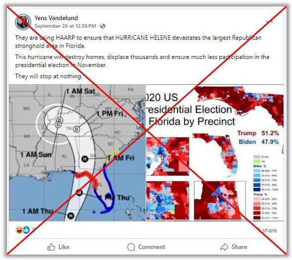
America bought Alaska from its previous conquistadors across the Bearing Strait in Tsarist Russia in 1867 and immediately placed its people under military rule for over a decade, during which the US Army and Navy were used to shell Tlingit villages, like Angoon in 1882, when they refused to be assimilated by bayonets alone. The end result wasn’t just Alaska’s forced statehood; it’s the ongoing military occupation of sacred northern indigenous lands by over 22,000 American troops along with the ecological devastation of this soil by massive imperial infrastructure projects like HAARP and the Alaska-Canada Military Highway.
America couldn’t quite buy off the Kingdom of Hawaii, so we orchestrated a coup in 1893 followed by annexation in 1898 instead, with turning Pearl Harbor into the tip of the spear for expanding Manifest Destiny to the Pacific Ocean as the primary goal. Now, the US Military occupies over 200,000 acres of “ceded lands” on the islands including 22% of the Island of Oahu. As if mere conquest weren’t enough, the ecological devastation done by our forces and their allies in the fruit plantation industry has turned large swaths of paradise into an open-air fire trap primed for climate change facilitated devastation the likes of which we all bore witness to in Maui just a few years back.
Sadly, this kind of post-colonial ecocidal devastation didn’t end in 1959 and wasn’t limited to one hemisphere either. The American Military has also similarly taken over raping and pillaging duties from Japan in the former Ryukyu Kingdom more commonly known as Okinawa.
Japan has been savaging these people since the Satsuma Clan invaded in 1609, but the US took charge after the Battle of Okinawa in which over 200,000 were slaughtered by both sides including a sizable population of civilian human shields that neither side seemed particularly shy about torching alive. With the former Empire of Japan’s consent, the US seized 25% of Ryukyu’s territory for military bases, forcibly displacing about 250,000 locals in the process in order to house over 26,000 US Military personnel who quickly busied themselves raping teenagers, running over children with their trucks, and devastating the Islands’ ancient fishing and farming industries.
In all of these lands the natives continue to struggle for self-rule but remain unrecognized by a world governed by globalist superstructures like the US, the EU, NATO, and the UN who define sovereignty based exclusively on the propertarian rule of the Westphalian system; a Eurocentric construct extended globally through colonialism in which only western style nation states with rigid borders and legally codified hierarchies are granted sovereignty. This leviathan continues to expand to this day, with the so-called “international community” waging war against regions like Somalia and New Guinea for the simple reason that they remain unruled by any single monopoly on the use of force.
And as the Western World continues its Spenglerian decline these colonialist tactics are increasingly being turned inward on modern city states like Minneapolis and Barcelona that simply refuse to forfeit local sovereignty to governments that their communities did not vote for and to a federal rule which they do not consent to.
I strongly believe that the solution for all of us is to embrace a framework that recognizes communities as sovereign organisms regardless of borders and recognizes secession as a basic human right. In order to achieve this, we will likely require a coalition similar to that of the Non-Aligned Movement formed by former colonies that found themselves with increased autonomy after the collapse of the old European empires in the Second World War.
Their goal was similar to that of the unrecognized nations of Greenland, Alaska, Ryukyu, and Hawaii; to remain independent and neutral during a time of violently shifting global alliances. They also share the same hidden strength held by all colonized people. They occupy space of strategic importance which is the reason why they were colonized in the first place. Alone, territories like Greenland and Ryukyu seem insignificant but they have been carefully developed into geostrategic chokepoints necessary for global governance and if they can cooperate with each other then they can quite easily hamstring American primacy while it reaches the apex of its decline.
Can you imagine an American empire with zero ability to command over the Indo-Pacific or the Arctic? I can and it’s a crippled fiefdom stretched too thin to govern Minneapolis or Portland or my girlfriend’s trailer park for that matter. It’s a recipe for a new world order freed from the restraints of the Westphalian trap and it’s one I welcome for my own obscure corner of the map and yours.
How about you?


