How does climate change affect El Niño and La Niña cycles?
Ajit Niranjan
DW
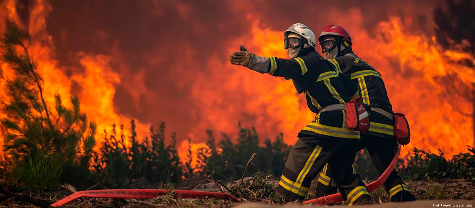
A natural shift in Pacific Ocean winds could push global temperatures even higher in 2023, wreaking havoc on weather across the entire world.
If winds slow down over the Pacific Ocean, they will set a chain of events in motion that could see heavy rains batter California, heat waves roast Europe, and droughts kill crops in countries from Brazil to Indonesia.
That is what some scientists expect to happen in 2023, though they caution that they won't know for sure until May. A study published Wednesday, which uses established methods but has not yet been peer-reviewed, estimates the hot weather pattern El Niño has about a 90% chance of returning this year.
"We forecast that it will be a moderate to strong event — over 1.5 degrees Celsius (2.7°F)," said Josef Ludescher, a scientist at the Potsdam Institute for Climate Impact Research in Germany and lead author of the study.
Such a shift — coming off the back of three years of the cold weather pattern La Niña — would make heat waves hotter and disrupt weather patterns across the world. Scientists have long struggled to work out what role global warming plays.
"El Niño is responsible for a lot of extremes," said Regina Rodrigues, an oceanographer at the Federal University of Santa Catarina in Brazil who was not involved in the study. "Every country, in one way or another, is affected."
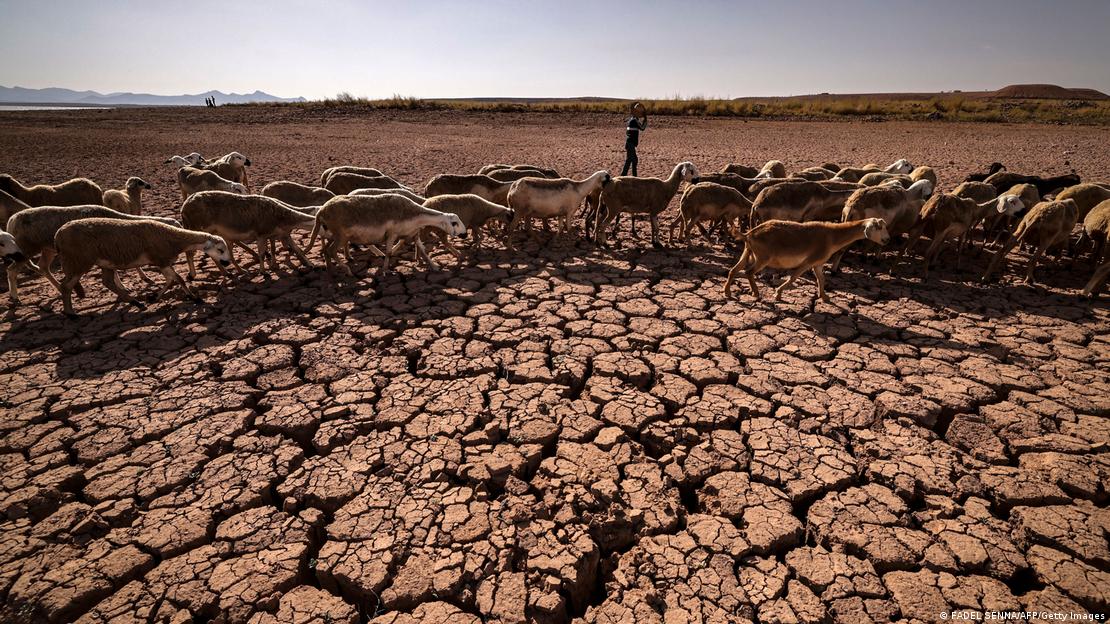
Droughts could prove damaging for countries already struggling with rising food prices
Image: FADEL SENNA/AFP/Getty Images
What are El Niño and La Niña and how do they work?
El Niño and La Niña are names for complex wind and temperature patterns in the Pacific Ocean. The winds in the ocean can take one of three phases. One is neutral, where they blow East to West. Another is El Niño, where they slow down or even stop. And then there is La Niña, where they blow stronger.
You can think of the Pacific Ocean, which covers one-third of the Earth, as a bathtub of cold water with a fan near the taps. Twist open the hot tap for a few seconds and turn on the fan, and the breeze will blow a stream of warm water from the tap to the end of the tub. In normal years, this is how winds push heat from South America to Asia.
But, during El Niño, changes in heat and pressure stop the fan from blowing. Hot water sloshes back toward the taps, leaving more warm water in the middle of the tub — or, to move away from the analogy, the ocean and near South America. That makes it more likely to evaporate and form rain clouds in places they are not normally expected.
"All of a sudden, you could get massive amounts of rain near the coast of Peru," said Erin Coughlan de Perez, an author of the latest Intergovernmental Panel on Climate Change (IPCC) report and scientist with the Red Cross Climate Center. "It's just unprecedented dumps of water in a place that is usually pretty dry."
The effects of El Niño stretch high above the Pacific Ocean and across the Earth. They alter the path of jet streams — strong winds far above the ground — that travel the planet guiding rains.
"The high clouds poke the atmosphere and trigger [atmospheric] waves," Rodrigues said. "That disrupts the climate everywhere."
Does climate change cause El Niño and La Niña?
El Niño and La Niña are natural phenomena. Scientists don't fully understand what causes them, but they know from coral reefs and tree rings that they have always varied.
There is some evidence that they have gotten stronger — the strongest El Niño events recorded have taken place in the past few decades — but it is unclear if this is just chance.
The IPCC, a scientific body that regularly evaluates peer-reviewed research on climate change, found that there is "low confidence" that global warming has already changed El Niño events. Some computer models show El Niño getting stronger in the future, while others see it getting weaker.
But the IPCC also found the effects of extreme El Niño and La Niña events are likely to hit harder as the planet heats up.
Since warmer air can take up more moisture, the same El Niño event means that more rain falls locally, Ludescher said. The air can hold 7% more water vapor for every 1 C the planet heats. By burning fossil fuels and destroying forests, humanity has heated the planet 1.2 C since the Industrial Revolution.
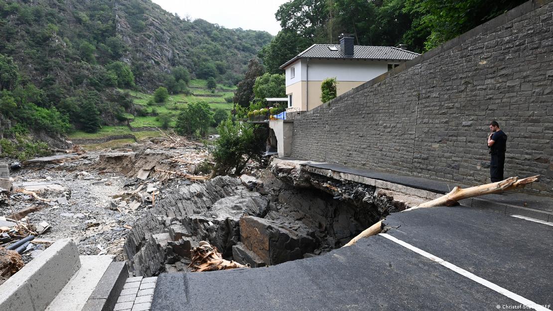
Heavy rains made stronger by climate change wrought havoc in Germany in 2021
Image: Christof Stache/AFP
Do El Niño and La Niña make climate change worse?
Global surface temperatures rise by about 0.1 C during El Niño years. In La Niña years, they fall by about the same amount. This is because less cold water is pulled up from the deep ocean near Peru during El Niño, leaving more warm water at the surface. This pushes surface temperatures higher.
If El Niño returns in 2023, global average temperatures could pass 1.5 C — the level to which world leaders promised to try to hold global warming by the end of the century.
Still, a spike in temperatures from El Niño would not make humanity less likely to meet its long-term climate targets, which depend on cutting greenhouse gas pollution. But the extra heat, in the short term, would hurt people, plants and animals.
Coral reefs, for instance, are expected to decline 70-90% if global warming passes 1.5 C. Passing that threshold even briefly could have permanent consequences. "Some corals may not survive this. And if they are dead, they don't come back," said Ludescher.
Why do El Niño and La Niña matter?
Many seasonal weather forecasts rely on correctly predicting the phase — and strength — of El Niño and La Niña. The information can help everyone from city planners to farmers.
"This isn't just theoretically interesting: This is useful information," Coughlan de Perez said. For instance, local governments could make early warning plans for heat waves and create systems to protect elderly residents, who are at greater risk of dying.
"This is about us and our preparation and how we survive in a warming world," Coughlan de Perez said.
2022: The year the climate crisis hit home
This year saw intense heat, drought, fires, extreme storms and flooding across the world linked to climate change. A look at the weather events that shaped the year.
Image: Peter Dejong/AP Photo/picture alliance
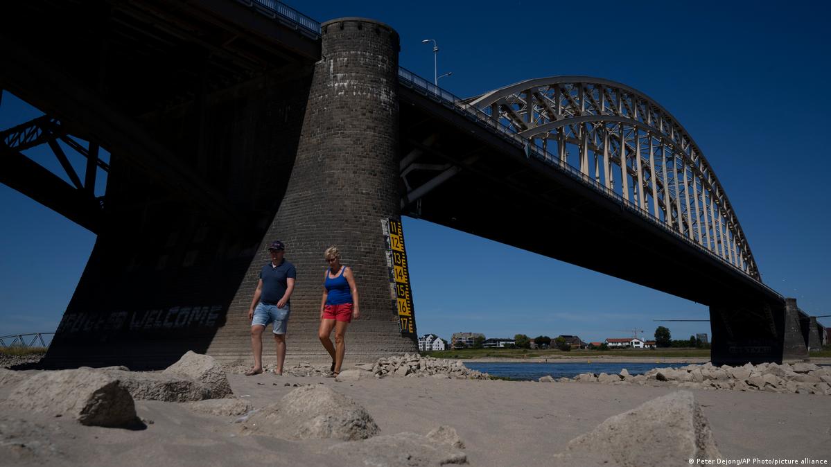
Europe: Hotter and drier than ever
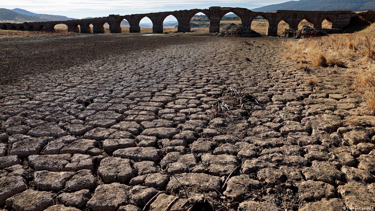
Europe's summer saw extreme heat and the worst drought in 500 years. More than 500 people died in record heat waves in Spain, with temperatures rising to 45 degrees Celsius (113 Fahrenheit). In the United Kingdom, the mercury soared to more than 40 degrees Celsius. Parts of the continent were the driest they'd been in more than a millennium, and many regions were forced to ration water.
Image: Thomas Coex/AFP
No comments:
Post a Comment