MH370 breakthrough as investigators plan to use sea explosions to solve mystery of aircraft's location

A breakthrough in the mystery of the missing MH370 flight could be on the way as fresh plans have been proposed to use sea explosions to uncover its location.
The Boeing 777 plane carrying 239 people, mostly Chinese nationals, from the Malaysian capital Kuala Lumpur to Beijing vanished from radar shortly after taking off on March 8, 2014.
Researchers have found that audio signals captured at a hydroacoustic station off the coast of Australia could hold the answer to the mystery.
Unique acoustic signatures are created when aircrafts crash, which can travel more than 3,000km through the water.
It has now been suggested that a series of controlled underwater explosions could help in finding a more precise location of the wreckage.
The system was previously used in the search for ARA San Juan, an Argentinian sub that disappeared in 2017.
Read more:
Read more:

Dr Usama Kadri from Cardiff University’s School of Mathematics said: "Our analysis shows clear pressure signals from previous aircraft crashes were detected on hydrophones, even at distances exceeding 3,000km.
"In the case of MH370, official investigations concluded the aircraft must have crashed near the 7th arc, the point at which the last communication between the plane and INMERSAT [a British satellite telecommunications company] occurred.
"The main search area at the 7th arc lies less than 2,000km away from the hydroacoustic station at Cape Leeuwin, Australia, with no impediments to filter out the signal.
"However, within the time frame and location suggested by the official search, only a single, relatively weak signal was identified."
Dr Kadri went on to say: "It is relatively straightforward and feasible and could provide a means to determine the signal’s relevance to MH370, prior to resuming with another extensive search. If found to be related, this would significantly narrow down, almost pinpoint, the aircraft’s location.
"On the other hand, if the signals are found to be unrelated, it would indicate a need for authorities to reassess the time frame or location established by their official search efforts to date."
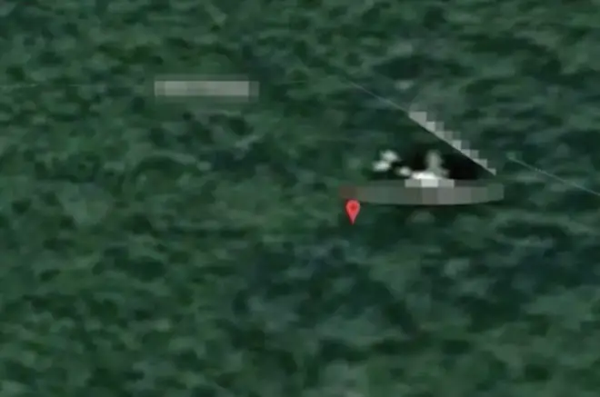
It comes after it was claimed that the wreckage of the missing flight MH370 had been found on Google Maps.
Technology expert Ian Wilson said he believed he had identified the wreckage of the ill-fated flight in the Cambodian jungle.
Mr Wilson said: "Measuring the Google sighting, you're looking at around 69 metres, but there looks to be a gap between the tail and the back of the plane.
"It's just slightly bigger, but there's a gap that would probably account for that."
At the time, an expensive multinational government search failed to turn up any clues, although several pieces of debris washed ashore on the East African coast and Indian Ocean islands.
A private search in 2018 by Ocean Infinity also found nothing, but it sparked moves to bolster aviation safety.
No comments:
Post a Comment