What’s a super typhoon?
ByThe Associated Press
ByThe Associated Press
today
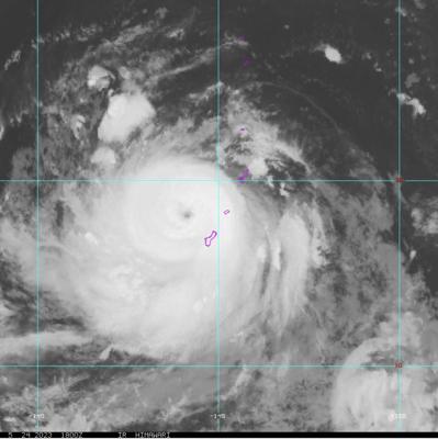
This Himawari-9 infrared satellite image taken at 2 p.m. EDT and provided by NOAA shows Typhoon Mawar passing over the U.S. Pacific territory of Guam, Wednesday, May 24, 2023. (NOAA via AP)
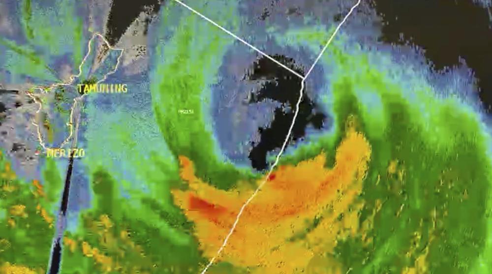
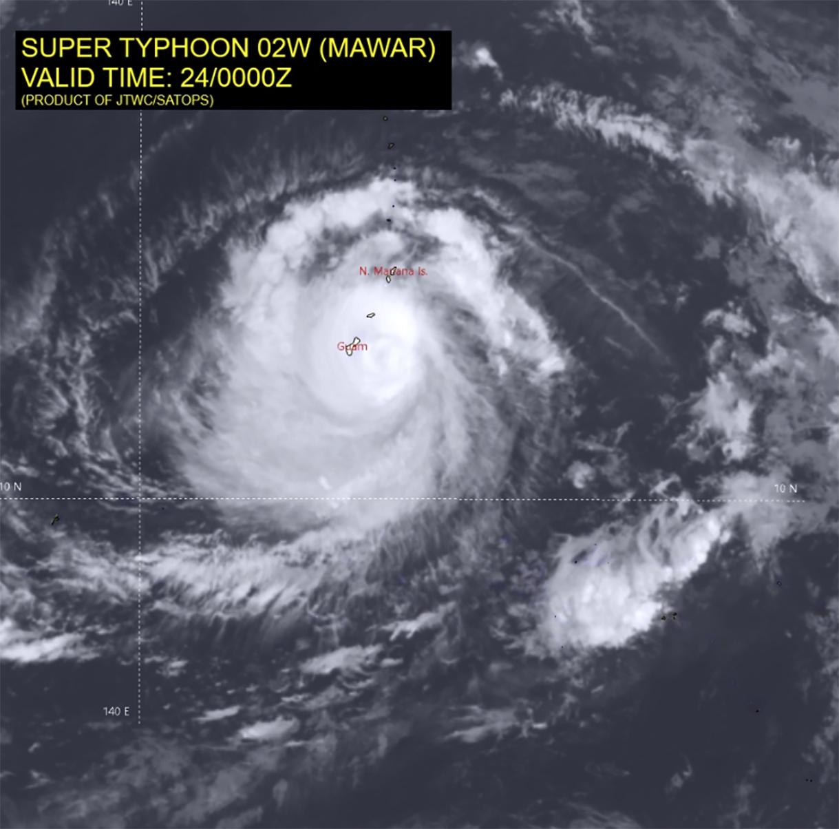
Typhoon Mawar was a Category 4 super typhoon with maximum sustained winds of 150 mph (241 kph) or greater when it crossed the northern tip of Guam on Wednesday night. It was the strongest typhoon to hit the U.S. Pacific territory since 2002.
A few commonly used weather terms and their definitions, which rely on material from the National Weather Service:
atmospheric river — Long and wide plumes of moisture that form over an ocean and flow through the sky over land.
blizzard — Wind speeds of 35 mph (56 kph) or more and considerable falling and/or blowing of snow with visibility of less than one-quarter mile (0.40 kilometer) for three or more hours.
cyclone — A storm in which strong winds rotate around a moving center of low atmospheric pressure. Depending on their size and location, cyclonic storms can be called tornadoes, waterspouts, typhoons or hurricanes.
derecho — A widespread and usually fast-moving straight-line windstorm. It is usually more than hundreds of miles long and more than 100 miles (161 kilometers) across.
El Nino, La Nina — El Nino is a naturally occurring climate phenomenon that starts with unusually warm water in the central and eastern equatorial Pacific and then changes weather worldwide. The flip side of El Nino is La Nina. It is an occasional but natural cooling of the equatorial Pacific that also changes weather worldwide.
hurricane or typhoon — A warm-core tropical cyclone in which the minimum sustained winds are 74 mph (119 kph) or more. Hurricanes are spawned east of the international date line. Typhoons develop west of the line. They are known as cyclones in the Indian Ocean and Australia.
microburst — Occurs when a mass of cooled air rushes downward out of a thunderstorm, hits the ground and rushes outward in all directions.


polar vortex — Usually refers to the gigantic circular upper air weather pattern in the Arctic region, enveloping the North Pole (but it can apply to the South Pole, too). It is a normal pattern that is stronger in the winter and keeps some of the coldest weather bottled up near the North Pole. The jet stream usually pens the polar vortex in and keeps it north. But at times some of the vortex can break off or move south, bringing unusually cold weather south and permitting warmer weather to creep up north.
snow squall — An intense but short-lived period of moderate to heavy snowfall, with strong winds and possible lightning.
storm surge — An abnormal rise of water above the normal tide, generated by a storm.
super typhoon — A typhoon with maximum sustained winds of 150 mph (241 kph) or stronger. Some places in Asia have lower wind thresholds.
tornado — A violent rotating column of air forming a pendant, usually from a cumulonimbus cloud, and touching the ground. On a local scale, it is the most destructive of all atmospheric phenomena. Tornadoes can appear from any direction, but in the U.S. most move from southwest to northeast. Measured on F-scale from EF0 to EF5, which considers 28 different types of damage to structures and trees. An EF2 or higher is considered a significant tornado.
tornado warning — National Weather Service issues to warn public of existing tornado.
tornado watch — Alerts public to possibility of tornado forming.
tropical depression — A tropical cyclone in which the maximum sustained surface wind is 38 mph (61 kph) or less.
tropical storm — A warm-core tropical cyclone in which the maximum sustained surface winds range from 39 mph (63 kph) to 73 mph (117 kph).
nor’easter — The term used by the National Weather Service for storms that either exit or move north along the East Coast, producing winds blowing from the northeast.
waterspout — A tornado over water.
wind chill factor — A calculation that describes the combined effect of the wind and cold temperatures on exposed skin.
wind shear — A sudden shift in wind direction and/or speed.
___
Associated Press climate and environmental coverage receives support from several private foundations. See more about AP’s climate initiative here. The AP is solely responsible for all content.
No comments:
Post a Comment