Forecast Centre
Fri, May 10, 2024
It's official! Canada's first 30-degree day of the year has been reached, and the lucky winners are Lytton and Squamish, British Columbia.
Both communities saw temperatures soar well above seasonal values on Thursday, with an early taste of summer-like weather arriving just in time for the Mother's Day weekend.
DON'T MISS: Canada’s long weekend forecast may switch up your outdoor plans
The pattern change has forced a ridge to build over the province, bringing a long stretch of very dry and unseasonably warm weather across the region this week. Things will continue to heat up on both Friday and Saturday, with the likelihood of even more communities hitting that 30°C mark.

Baron - Atmospheric heights BC
Remember it's May however, a month that comes with varying extremes, so don't count on this blast of high heat to stick around for the unofficial kick-off to summer next weekend.
More 30-degree days likely this weekend
Temperatures began their steady climb on Thursday, with some areas seeing daytime highs about 10-12°C above normal for this time of year. Lytton hit 30.1°C on Thursday, while Squamish just barely made the threshold, sitting at exactly 30°C.
Highs soaring into the upper 20s will continue to be pretty widespread away from the coasts. Places like Squamish, Lytton, Kamloops and Osoyoos are all forecast to see a daytime high of 29°C on Friday, making it likely for more communities to reach those 30°C temperatures -- some for the second day in a row.
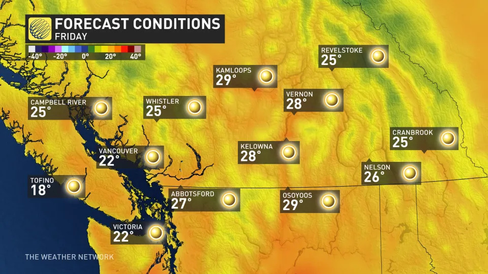
Baron - Friday BC temps - May 9
Temperatures will increase a degree or two more into Saturday, which will lock in the chance for several locations to hit 30°C, especially across the Interior.
Saturday will be the peak of the heat however, as the ridge begins to slowly break down on Sunday and into Monday.
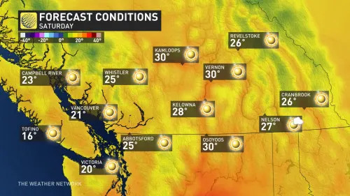
Baron - BC Saturday temperatures
This pattern will certainly dry out many locations that saw a stretch of gloomy and wet weather at the end of April. Though welcomed by summer lovers and heat-seekers alike, it's not the best news to have such dry and hot weather this early in the fire season.
The only bright side to this pattern is that the warmest temperatures will likely miss northern B.C., which has been hardest hit by the ongoing drought conditions.
CANADA'S WILDFIRES: Visit The Weather Network's wildfire hub to keep up with the latest on the active start to wildfire season across Canada.
A cooler pattern is expected to take shape for next week, though much of southern B.C. will remain within a few degrees of seasonal.
Southern B.C. will also be mostly dry in the long range, with an active and wet pattern likely for the northern and central coast.
YOUR MAY OUTLOOK: Spring into summer or a stalling spring ahead, Canada?
Even though temperatures will remain around where they should for the middle of May, changeable conditions are possible across Western Canada for the long weekend. Don’t rule out the chance for showers if you’re heading outdoors, especially if you’re camping or hoping to catch some fireworks.
Stay tuned to The Weather Network for your latest forecast across British Columbia.
WATCH: 4 steps to protect your home and prepare for wildfire season
Temperatures to soar above 30 C in parts of B.C. this weekend
Thu, May 9, 2024

Temperatures could climb above 30 C in some parts of B.C.'s Interior this weekend. (Winston Szeto/CBC - image credit)
Time to bust out the sunscreen and a wide-brim hat.
Environment Canada meteorologist Ken Dosanjh said while last week brought cool, standard spring conditions, temperatures are expected to soar across the province in coming days, reaching above 30 C in some parts of the Interior.
Environment Canada is forecasting sunny days and warmer nights through Monday, when things are expected to cloud over and cool off.
A high of 32 C is forecast for Kamloops on Saturday, which is about 12 C above normal and would break a daily heat record stretching back to 1971.
Communities including Kelowna, Penticton, Clearwater, Lillooet and Cache Creek could also see highs above 30 C.
Prince George is looking at highs of 26 C on Friday, more than 10 C above the seasonal average, according to Environment Canada.
It'll be cooler on the South Coast, with temperatures of 21 C forecast for Vancouver on Saturday, climbing to 27 C further inland.
While it may seem tempting to go for a quick dip in a lake or river to cool off, Dosanjh is reminding British Columbians that bodies of water are still cold, and there is a risk of hypothermia for people exposed to cold for a long time.
Dosanjh said this time last year temperatures were well above average, which contributed to early wildfire activity.
"While this weekend definitely will be warming above seasonal, so far it's not packing the same punch as compared to May 2023," he said.
Wildfire risk
Nevertheless, the spike in temperatures comes as many parts of the province continue to deal with drought conditions, which forecasters worry could mean a long, challenging wildfire season.
Open burning bans are in effect for much of the province. And as camping season kicks off, officials are reminding campers to be cautious when it comes to campfires.
On Thursday, Minister of Forests Bruce Ralston said the heat over the weekend could lead to an increase in wildfires.
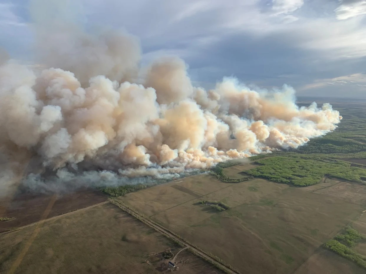
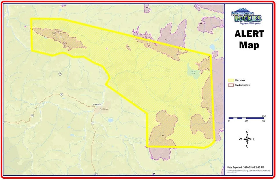
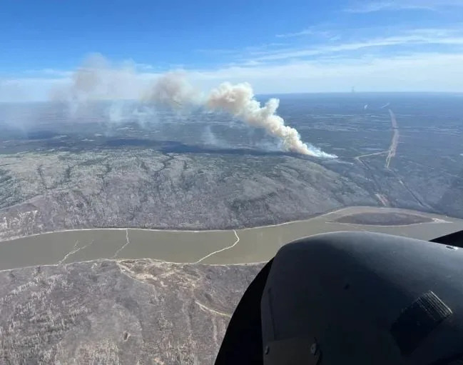
Ralston said the northeast, particularly around Fort Nelson, is most at risk because of high temperatures and wind. The vast majority of wildfires burning in B.C. right now are in the Prince George Fire Centre, which comprises the province's northeastern quarter.
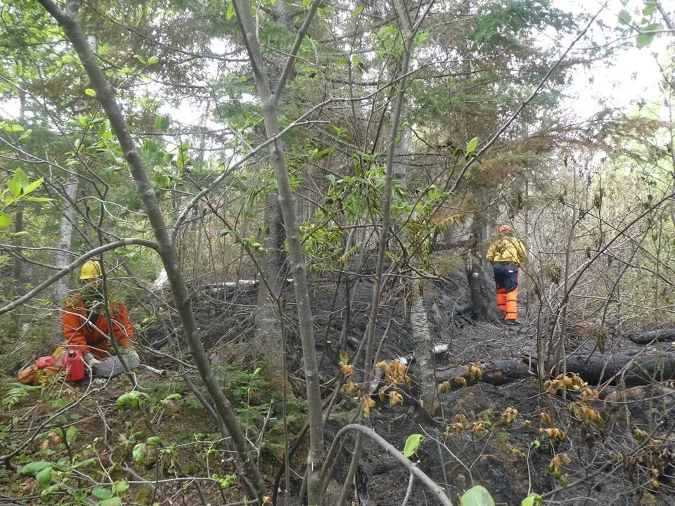
He said additional firefighting resources are being sent to the region to assist existing crews should new fires begin.
Minister of Emergency Management Bowinn Ma is asking residents in the Fort Nelson area to be prepared for evacuation orders or alerts, and to pay attention to conditions through the weekend.
The B.C. River Forecast Centre is scheduled to release its latest snowpack information on Thursday.
